Extremely Active this will be this 2020 Storm season and it began to be fulfilled ahead of time.
The Atlantic Hurricane season officially started on June 1 and Storm Arthur surprised us before the start of the season and the same thing happened with Bertha, only as a Tropical Storm, Bertha did make landfall in South Carolina with winds from 50 mph (80 km/h).
The rains associated with its trajectory caused Miami floods not seen for a long time, hail, property damage and destruction, both of which were eliminated from the list that the World Meteorological Organization publishes every year.
Tropical Storm Cristobal was the third earliest named storm in the Atlantic Ocean with sustained winds of 60 miles per hour, causing torrential rains across the region and a destructive tornado that struck Orange County in central Florida.
In total, NOAA forecasts that between 13 and 19 named storms will form, that is, winds of more than 63 km/h and of which between 3 and 6 will become Major Hurricanes, with sustained winds above 180 km. /h, this means that they will reach Category 3 and above on the Saffir/Simpson scale, whose maximum is five points.
Experts forecast a more active season than normal.
Hurricanes would be stronger due to climate change. The National Oceanic and Atmospheric Administration – NOAA, established that the reason behind a high probability for the formation of tropical systems is due to the high temperatures in the ocean and the possibility of the development of the La Niña Phenomenon that drives the formation of cyclones.
These Depressions are running between 2 to 4 degrees above what is normal for this time of year and this is the necessary fuel for these cyclones to generate greater intensity.
Hurricanes, or scientifically called Tropical Cyclones, are the largest and most violent rotating storms that can exist on earth, characterized by powerful winds and torrential rains. The torrential phenomenon sometimes reaches up to 800 kilometers in diameter and is made up of winds and clouds that form a spiral around a common center called the EYE. The air is calm and cloudless in the area of the eye, which measures about 25 kilometers in diameter, but is surrounded by a huge wall of dense clouds that produce the most intense precipitation of the Hurricane and in which the wind reaches the highest speed. For a storm to be classified as a hurricane, its winds must blow at least 120 kilometers per hour, but its speed around the eye often exceeds 240 kilometers.
Why are Hurricanes so dangerous?
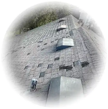
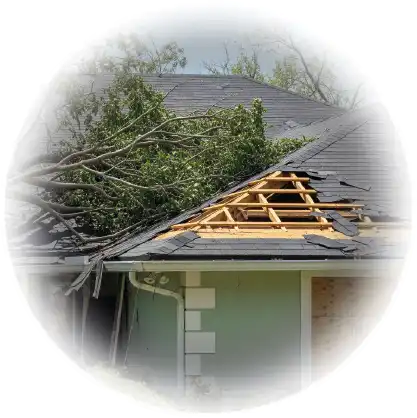
When Hurricanes hit the earth, they do it in a triple way with winds, rains and waves. Strong surrounding winds can easily uproot trees, lift roofs off houses and buildings, and overturn cars.
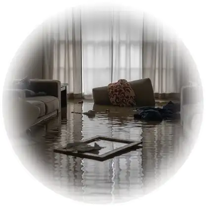
Storms can drop about 150 millimeters of incessant rain and due to their torrential rainfall cause extensive flooding.
“The last season with four or more major hurricanes was the record damage-causing year of 2017, and it was Hurricanes Harvey, Irma, and Maria. All caused significant damage in the United States and the Caribbean ”
It is always important to listen to the instructions of local authorities and to know the weather conditions to know the path of the Storm.
It is time to prepare for the Cyclones..
Coastal areas such as Florida are prone to hurricanes and the people who inhabit it should be aware of the weakness of that area to winds and floods, as well as be prepared and know what to do to reduce the effects of these.
In the other States bordering the coastal areas, strong winds, blackouts and flooding due to torrential rains can also be experienced.
It is important to take the necessary preventive measures to be protected, this means having information resources, preparing the house, developing an emergency communication plan and knowing what to do when a hurricane approaches.
This preparation also includes storing water, non-perishable food for at least 2 weeks, medicines, hygiene products, keeping important documents on hand and without forgetting that we are going through the Covid-19 pandemic that creates an even greater risk to our health. . The use of masks, alcohol and antibacterial are essential and cannot be missed. Preparing in time can save lives and having HOME INSURANCE that protects them against storms and hurricanes is very important due to the increase in tropical activity in recent years.
So… Is your property covered for Hurricane damage? Have I reviewed your insurance policy yet?
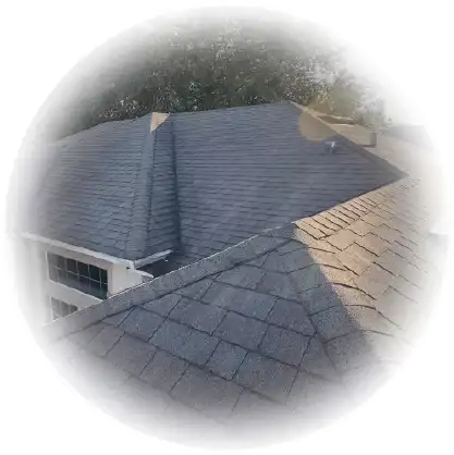
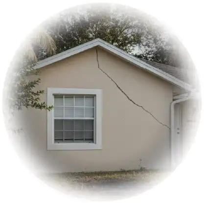
All homeowners are aware of the destructive power that a hurricane or tropical storm can cause and the damage that high winds can cause to the property, such as lifting roofs, falling trees on the roof, partial or total destruction. of the structure of a house.
As mentioned above, it is important to have insurance that protects homes, but also having the services of a Public Adjuster will ensure that your Insurance claim is handled properly and you are able to obtain a fair and reasonable payment for your damages.
LossUp Adjust Consultant, in alliance with the best Public Adjuster company in Central Florida, LossUp Adjust Consultant, we are specialized in managing damage claims for Hurricanes of all kinds: Storms, Hail, Floods, Roof Damage among others. We work for you, achieving that you obtain a higher compensation, and the Insurance pays for your damages what really corresponds to you, according to the value of your policy and the real valuation of the estimates of the damages. Insurance companies want to pay only what they offer, we make sure that the insurance company pays the money that belongs to it and can recover from all its losses.
If your house has been damaged, either by the Season or by any other circumstance, we invite you to contact us. We are prepared to help you in your Claims process, we provide advice and carry out inspections completely FREE of charge in the areas of your home that are affected.
We are your trusted Public Adjuster, we work to represent you, we do not work for your insurance company.

